


E-Catalogue
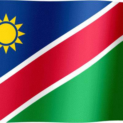
NAMIBIA FLAG
-
IMPA CODE: 373248 / SIZE: 2′ * 3′ – 60 cm * 80 cm
-
IMPA CODE: 371297 / SIZE: 3′ * 4′ – 80 cm * 120 cm
-
IMPA CODE: 371134 / SIZE: 4′ * 6′ – 120 cm* 180 cm
-
IMPA CODE: 374448 / SIZE: 6′ * 8′ – 180 cm* 240 cm
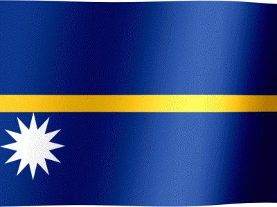
NAURU FLAG
-
IMPA CODE: 373249 / SIZE: 2′ * 3′ – 60 cm * 80 cm
-
IMPA CODE: 373549 / SIZE: 3′ * 4′ – 80 cm * 120 cm
-
IMPA CODE: 371164 / SIZE: 4′ * 6′ – 120 cm* 180 cm
-
IMPA CODE: 374449 / SIZE: 6′ * 8′ – 180 cm* 240 cm

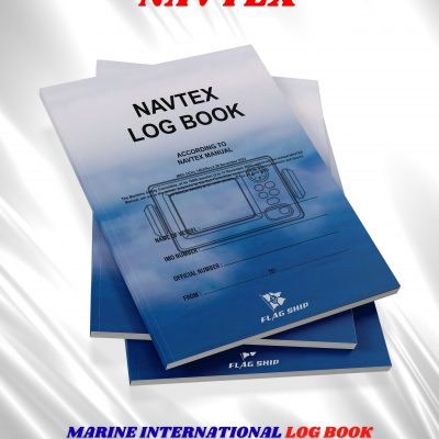
NAVTEX LOG BOOK
FLAG SHIP LOG BOOKS DEPARTMENT
INTERNATIONAL MARINE LOG BOOK
FORMAT: A4 SIZE WHITE PAPER 80 GRM
AVAILABLE IN: SEMI HARD COVER
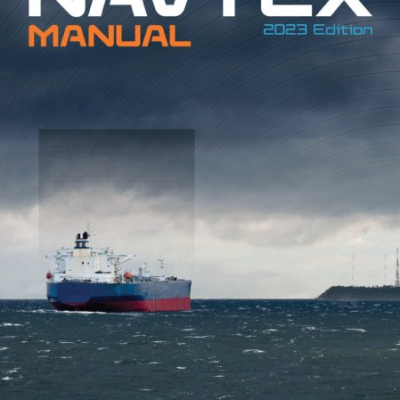
NAVTEX Manual
-
EDITION : 7th,2023
-
PUBLISHER: IMO
-
LANGUAGE: ENGLISH
-
SKU: IF951E
-
NAVTEX is an international automated direct-printing service for promulgation of maritime safety information such as navigational warnings and meteorological information to ships. It is one of the two principle methods for broadcasting maritime safety information in accordance with the provisions of SOLAS, 1974. This edition includes, in particular, the procedure to withdraw existing NAVTEX stations, should a coastal State decide to do so. This Manual is intended for use by maritime Administrations, and others concerned with preparing, broadcasting and receiving maritime safety information. The 2023 edition of the Manual includes the revised Performance standards for the reception of maritime safety information and search and rescue related information by MF (NAVTEX) and HF (resolution MSC.508(105)) and the revised Criteria for use when providing a NAVTEX service (resolution MSC.509(105), annex 4).
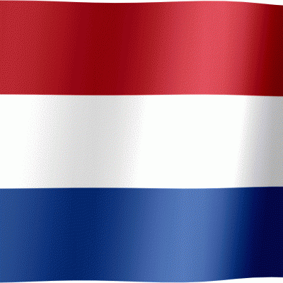
NETHERLANDS FLAG
-
IMPA CODE: 373251 / SIZE: 2′ * 3′ – 60 cm * 80 cm
-
IMPA CODE: 371248 / SIZE: 3′ * 4′ – 80 cm * 120 cm
-
IMPA CODE: 371348 / SIZE: 4′ * 6′ – 120 cm* 180 cm
-
IMPA CODE: 371448 / SIZE: 6′ * 8′ – 180 cm* 240 cm
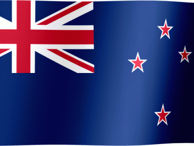
NEW ZEALAND FLAG
-
IMPA CODE: 373254 / SIZE: 2′ * 3′ – 60 cm * 80 cm
-
IMPA CODE: 371249 / SIZE: 3′ * 4′ – 80 cm * 120 cm
-
IMPA CODE: 371349 / SIZE: 4′ * 6′ – 120 cm* 180 cm
-
IMPA CODE: 371449 / SIZE: 6′ * 8′ – 180 cm* 240 cm

NICARAGUA FLAG
-
IMPA CODE: 373255 / SIZE: 2′ * 3′ – 60 cm * 80 cm
-
IMPA CODE: 371250 / SIZE: 3′ * 4′ – 80 cm * 120 cm
-
IMPA CODE: 371350 / SIZE: 4′ * 6′ – 120 cm* 180 cm
-
IMPA CODE: 371450 / SIZE: 6′ * 8′ – 180 cm* 240 cm

NIGER FLAG
-
SIZE: 2′ * 3′ – 60 cm * 80 cm
-
IMPA CODE: 373556 / SIZE: 3′ * 4′ – 80 cm * 120 cm
-
IMPA CODE: 374156 / SIZE: 4′ * 6′ – 120 cm* 180 cm
-
SIZE: 6′ * 8′ – 180 cm* 240 cm

NIGERIA FLAG
-
IMPA CODE: 373257 / SIZE: 2′ * 3′ – 60 cm * 80 cm
-
IMPA CODE: 371251 / SIZE: 3′ * 4′ – 80 cm * 120 cm
-
IMPA CODE: 371351 / SIZE: 4′ * 6′ – 120 cm* 180 cm
-
IMPA CODE: 371451 / SIZE: 6′ * 8′ – 180 cm* 240 cm

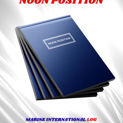
NOON POSITION
FLAG SHIP LOG BOOKS DEPARTMENT
INTERNATIONAL MARINE RECORD BOOK
IMPA CODE: 370852
FORMAT: A4 SIZE WHITE PAPER 80 GRM
AVAILABLE IN: SEMI HARD COVER
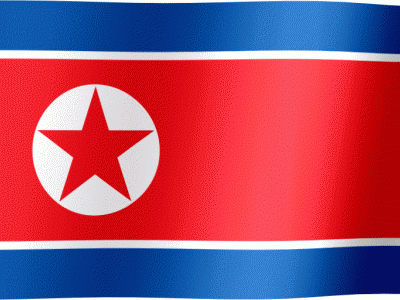
NORTH KOREA FLAG
-
IMPA CODE: 373213 / SIZE: 2′ * 3′ – 60 cm * 80 cm
-
IMPA CODE: 371238 / SIZE: 3′ * 4′ – 80 cm * 120 cm
-
IMPA CODE: 371338 / SIZE: 4′ * 6′ – 120 cm* 180 cm
-
IMPA CODE: 371438 / SIZE: 6′ * 8′ – 180 cm* 240 cm
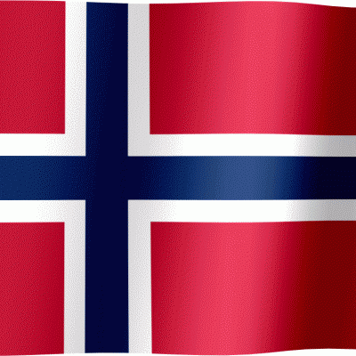
NORWAY FLAG
-
IMPA CODE: 373260 / SIZE: 2′ * 3′ – 60 cm * 80 cm
-
IMPA CODE: 371252 / SIZE: 3′ * 4′ – 80 cm * 120 cm
-
IMPA CODE: 371352 / SIZE: 4′ * 6′ – 120 cm* 180 cm
-
IMPA CODE: 371452 / SIZE: 6′ * 8′ – 180 cm* 240 cm
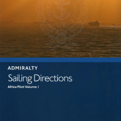
NP1
-
SAILING DIRECTION
-
TITLE: AFRICA PILOT VOL 1
-
EDITION : 19, 2020
-
AUTHOR: UKHO
-
LANGUAGE: ENGLISH
-
IMPA CODE: 370921
-
This edition of Africa Pilot Vol. I (NP 1) in the British Admiralty Sailing Directions series. It covers Arquipélago da Madeira, Islas Canarias, Arquipélago de Cabo Verde, and the West Coast of Africa from Cap Spartel to Bakassi Peninsula.
NP10
-
SAILING DIRECTION
-
TITLE: Arctic Pilot Vol 1
-
EDITION : 19th, 2016
-
PUBLISHER: UKHO
-
LANGUAGE: ENGLISH
-
IMPA CODE: 370931
-
This ediArctic Pilot Vol. I (NP 10) in the British Admiralty Sailing Directions series. It covers the Coasts of the former Soviet Union from Mys Belyy Nos, Proliv Yugorsky Shar to Mys Yakan including Novaya Zemlya, Zemlya Frantsa Iosifa, and all the islands eastward to Novo Sibirskiye Ostrova.
NP100
-
The MARINER’S HANDBOOK
-
TITLE: very comprehensive handbook with texts on all subjects of the sea combined with navigation: Chart supply and management, operational information on traffic systems and reporting, oceanography with tides, stream, waves, currents, Tsunamis, corals, magnetism; meteorology; sea ice with glossary;
-
EDITION : 2023
-
PUBLISHER: UKHO
-
LANGUAGE: ENGLISH
-
IMPA CODE: 370668
NP11
-
SAILING DIRECTION
-
TITLE: Arctic Pilot Vol 2
-
EDITION : 12th, 2018
-
PUBLISHER: UKHO
-
LANGUAGE: ENGLISH
-
IMPA CODE: 370932
-
The Arctic Pilot Volume 2 Iceland, Jan Mayen, Bjørnøya, Svalbard, and the east coast of Greenland together with the adjacent seas.
NP12
-
SAILING DIRECTION
-
TITLE: Arctic Pilot Vol 3
-
EDITION : 10th, 2018
-
PUBLISHER: UKHO
-
LANGUAGE: ENGLISH
-
IMPA CODE: 370933
-
The Arctic Pilot Volume 3 Davis Strait and Baffin Bay with the W and NW coasts of Greenland, the N coast of Canada including Hudson Bay and the Arctic archipelago, Parry Channel, Prince of Wales Strait, Beaufort Sea, Nares Strait and Lincoln Sea.
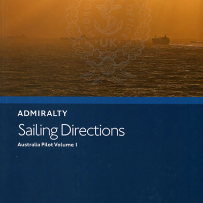
NP13
-
SAILING DIRECTION
-
TITLE: Australia Pilot Vol 1
-
EDITION : 6th, 2020
-
PUBLISHER: UKHO
-
LANGUAGE: ENGLISH
-
IMPA CODE: 370934
-
Australia Pilot Vol 1 (NP13) North, north-west, west and south coasts of Australia from west entrance of Endeavour Strait to Green Point.
NP131
-
CATALOGUE OF ADMIRALTY CHARTS & PUBLICATIONS
-
TITLE: a ring binder containing 9 sections associated with maintaining ENCs and ECDIS. It covers aspects such as receipt of ENC updates, reading the README.TXT file and the management of T and P NMs when using ENCs. Templates relating to each section will be made available online to allow users to print supplementary copies as required. It is similar in concept and performs a similar function to the Paper Chart Maintenance Record (NP133A) but for ENCs.
-
EDITION : 2024
-
PUBLISHER: UKHO
-
LANGUAGE: ENGLISH
-
IMPA CODE: 370806